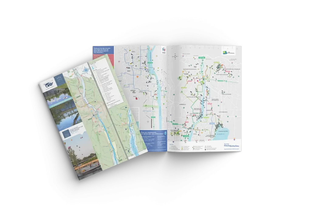
Vallée-des-Forts bicycle path
A bike ride in the Haut-Richelieu thanks to the Vallée-des-Forts cycling route!
The Vallée-des-Forts cycling route is 49.2 km long, starting in Vieux-Saint-Jean and finishing at the U.S. border.
Associated with the Route Verte, it's important to note that this is not a bike path. It is a route made up of shoulders on provincial roads and designated pavements on country roads.
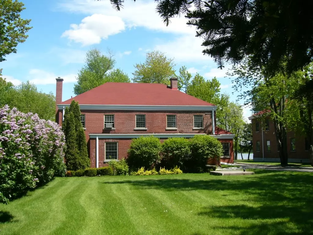
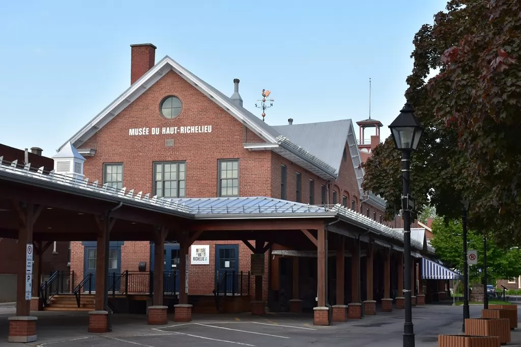
Many attractions cross this path, including the Musée du Fort Saint-Jean, a picnic area at the Centre-de-plein-air-Ronald-Beauregard, Place Feller, the Fort-Lennox National Historic Site, and many more!
Services
- Tourist information and drinking water: Tourisme Haut-Richelieu at 130, rue du Quai, Saint-Jean-sur-Richelieu & the Bureau d'accueil touristique- Accueil du LHN Fort-Lennox at 1, 61e avenue, Saint-Paul-de-l'Île-aux-Noix.
- Parking: P16 and P17 in Old Saint John & the Fort Lennox NHS Visitor Centre.
- Toilet: Tourisme Haut-Richelieu, Centre-de-plein-air-Ronald-Beauregard in Saint-Jean-sur-Richelieu & Bureau d'accueil touristique- Accueil du LHN Fort-Lennox.
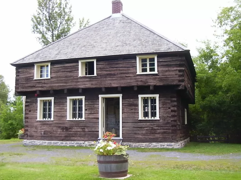
- Chemical toilet: Parc au Vent Fou in Saint-Blaise-sur-Richelieu, Halte des cyclistes in Saint-Valentin & Blockhaus de la Rivière-Lacolle in Île-aux-Noix.
- Bike repair stations: Jacques-Cartier Nord station in Saint-Jean-sur-Richelieu, Centre-de-plein-air-Ronald-Beauregard in Saint-Jean-sur-Richelieu & Halte des cyclistes in Saint-Valentin.
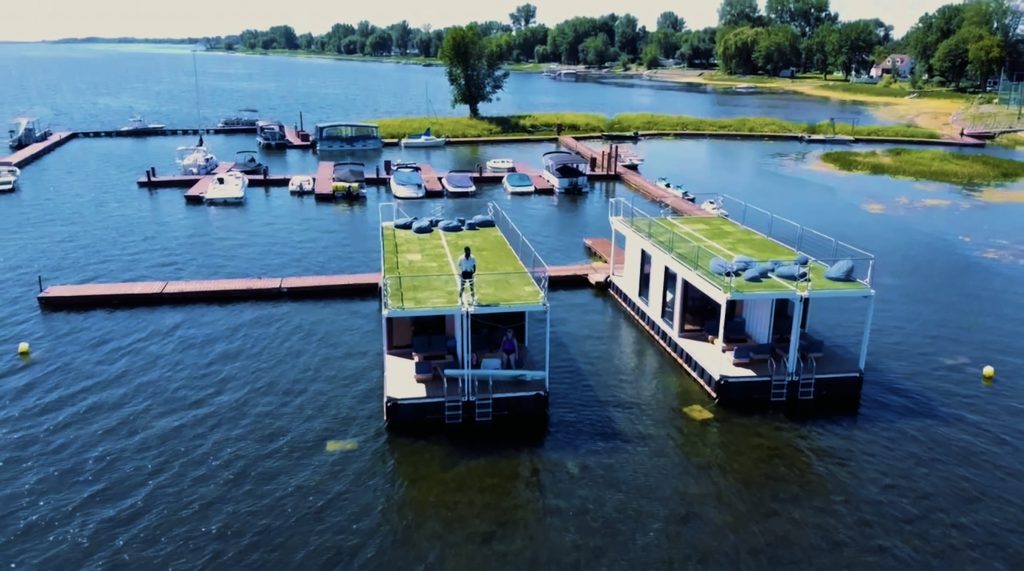
- Welcome cyclists!Camping Les Cèdres, Holiday Inn Express and Quality Hotel Centre de Congrès.
Please note that the route is available on ONDAGO. Download the Haut-Richelieu cycling map.
See the Tourisme Montérégie website and Ride with GPS page for the full itinerary.

Starting point: Tourisme Haut-Richelieu


