Hare trail
The Lièvre trail runs through the municipality of Lacolle. This 3.8 km bike path links up with Route 223 and theAxe cyclable Vallée-des-Forts. The latter links Saint-Jean-sur-Richelieu to theLake Champlain Bikeways in New York and Vermont.
To the west, the Lièvre trail joins the Sentier du Paysan, crossing the territory of the MRC Jardins de Napierville. Over 26 km long, it follows an old railroad line through the region's fertile fields, away from the villages. Nature, isolation and peace await you!
Services
- Tourist information, drinking water and washroom facilities: Fort Lennox NHS Visitor Centre at 1, 61st Avenue, Saint-Paul-de-l'Île-aux-Noix.
- Parking: Route 223 rest area and Lacolle bike stop (intersection of Beurrerie and de l'Église Sud streets, opposite Meunerie Gamache).
- Chemical toilet: Route 223 rest area
- Toilet and drinking water point: Lacolle bike stop
- Bicycle repair station: Halte cycliste de Lacolle.
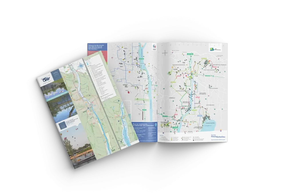
Please note that the route is available on ONDAGO. Download the Haut-Richelieu cycling map.
The itinerary is also available on Tourisme Haut-Richelieu's Ride with GPS page.

Starting point: halt at the intersection of route 223 and the Lièvre trail


